Responsibility for roads
All publicly maintained A, B, C and unclassified roads are our responsibility.
The A1, A1(M), A66, A66(M), A64, A168 (Dishforth to Thirsk) and A19 (Thirsk to Crathorne) are the responsibility of Highways England.
Viewing the list of streets
Viewing the list of streets yourself is free.
- View the list of streets (pdf / 3 MB)
- view our interactive map
- contact us to make an appointment to view the list in person at County Hall, Northallerton
The list only holds details of unclassified roads. It does not include A, B and C roads.
Highways records search
You can ask us to search the records for you; this is known as a highways search. There is a charge for this, and it will vary depending on the complexity of the enquiry.
Contact us to request this service.
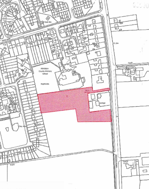
You should provide full details of the questions you want us to answer, along with a good quality, up-to-date plan of the land to which your questions relate. Highlight the boundary of the land in red. Land Registry or Ordnance Survey (OS) maps are usually suitable; the scale of the map should show the land in the context of its surroundings.
Here is an example of what the plan should look like:
We will then contact you within 20 working days to advise how much the search will cost, and to make arrangements for payment. This can either be by sending us a cheque, or by card payment over the telephone.
Privately owned roads or streets
A privately owned road or street can only be added to the list of streets if we adopt it legally.
In North Yorkshire, only about five per cent of roads or streets have gone through the legal process of being formally adopted by us. Find out more about road adoption.