Information on A59 re-alignment proposals
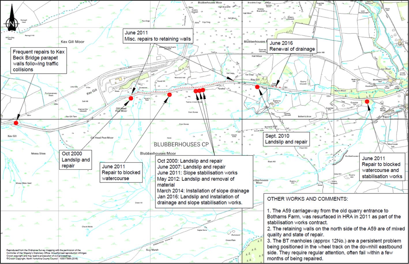
Kex Gill has a history of landslips and instability, over the years there have been many unplanned and costly closures of the A59 at Kex Gill. Road closures at Kex Gill cause an inconvenience not just for users of the A59, but for those in the surrounding towns and villages through which traffic is required to make a six mile diversion.
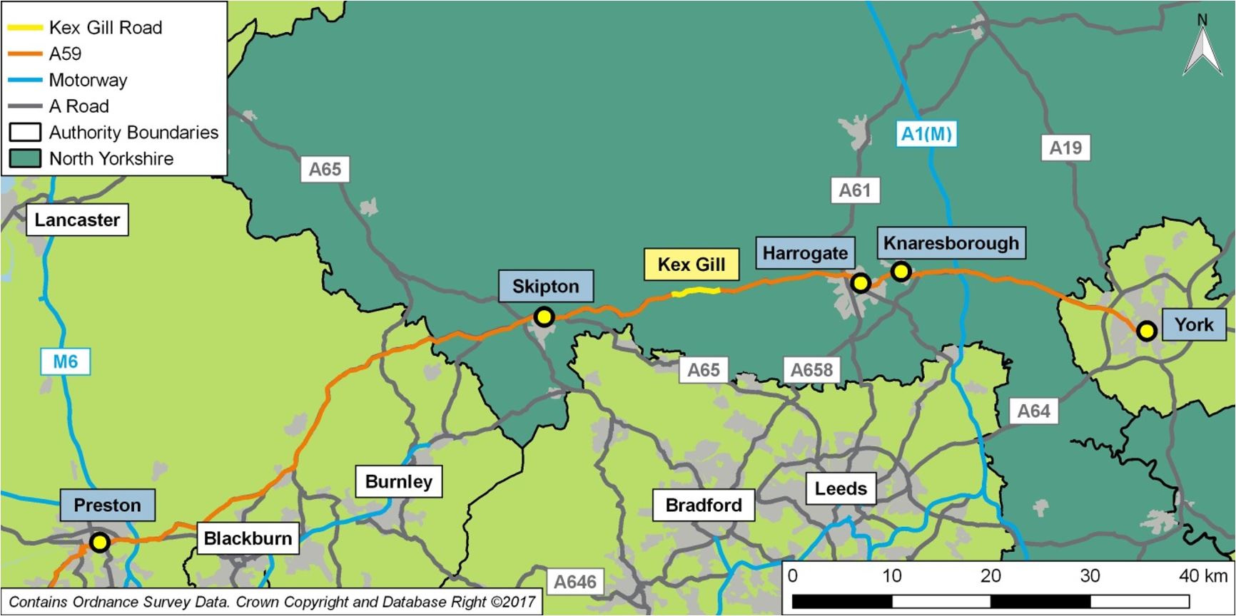
The A59, illustrated in context below, provides a very important east-west connection in North Yorkshire, linking Harrogate and Skipton. It provides a route across the north of England, between junction 31 of the M6 and junction 47 of the A1(M).
The A59 route in context (jpg / 167 KB)
In 2016, we began detailed work on developing options to address the issue of landslips and instability on the A59 at Kex Gill. Following guidance from the Department for Transport, an Options Assessment Report was produced which contained 16 options (these options can be found below under the development of options for A59 relocation at Kex Gill).
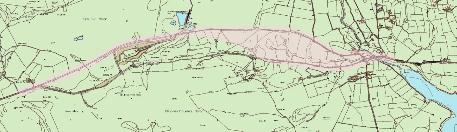
Following the appraisal of the 16 options, a number of the best performing routes (based on their ability to address the issues of resilience, connectivity, reliability and safety as well as their fit with national and local transport policy) were collated into what was formerly known as the ‘consultation corridor’, below.
You can view a large version of the consultation corridor (jpg / 159 KB) here
We held a first stage public consultation event in Autumn 2017 at locations in Harrogate, Skipton and Norwood. Members of the public could also view the consultation material and provide comments online, via post or email. The consultation events were attended by over 300 individuals, and a further 300 online responses were received. Over 90 per cent of responses supported the need to do something at Kex Gill.
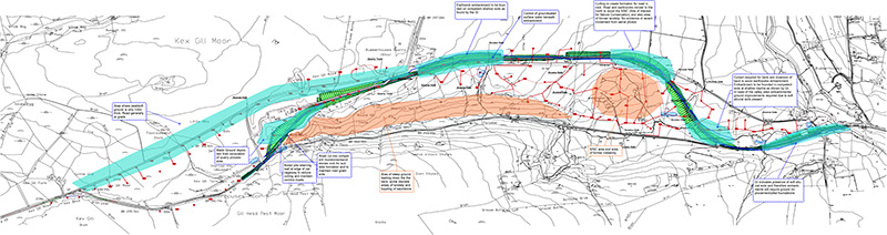
Following the consultation event, work continued to further refine the options for the best possible alignment. Extensive ground investigation work has been carried out in the area, and ecologists are regularly on site carrying out required environmental surveys in line with the UK and European legislation. The survey work identified that a previously discounted option needed to be brought back into consideration, due to the fact that it significantly reduces the impact on the very important protected landscapes (Special Area of Conservation, Special Protection Area and Site of Scientific Interest). The previously discounted option does still fall within a section of the previous consultation corridor, however, it is now anticipated that the scheme will begin from North Moor Road and follow the bridleway to the east before dropping down and re-joining the A59 close to Hall Lane. See this key sensitivities plan (pdf / 1 MB) for more details.
Proposed preferred route
A proposed preferred route has been developed following the results of the ground investigation works and extensive liaison with environmental, geotechnical and highway engineering specialists.
You can view a larger image here (jpg / 9 MB) or a high quality PDF version here (pdf / 1 MB).
Based on the work undertaken so far this represents the route the council believes achieves the best balance of meeting the aims of the scheme, minimising the impact on the environment and reducing the impact on landowners and local people. It therefore forms the starting point for more detailed discussion and refinement with landowners and other important interested parties.
You can a view a large image here (jpg / 4 MB) or a high quality PDF version here (pdf / 9 MB).
You can view a large image here (jpg / 6 MB) or a high quality PDF version here (pdf / 3 MB).
Discussions have already commenced between the scheme designers and some key local stakeholders with a view to understanding day to day business and operations. These discussions will assist the team in producing the final detail of the preferred route. Following a further public consultation event held on 30 June 2018 at Norwood Social Hall in the Washburn parish, the county council’s executive agreed the preferred route at its meeting on 24 July 2018. Detailed design and liaison with landowners, stakeholders and government continued to refine details of the scheme.
The orders
Updated Notice of Making the Side Roads Order (SRO) - Period for support/objection now the 18 October 2021. The period for representations of support/objection to the Compulsory Purchase Order (CPO) is the 20 September 2021 and this date remains unchanged.
The Compulsory Purchase and Side Roads Orders were made by us on 30 July 2021. These orders are being submitted to the Secretary of State for Transport for confirmation. The orders are being published in the Harrogate Advertiser and Craven Herald and the London Gazette and copies of the orders will be available to view at County Hall Northallerton and Skipton Library and Harrogate Library. The Orders will remain available to view until the 18 October 2021, but if you wish to make representations regarding the Compulsory Purchase Order you must do so before the 20 September 2021. We are required to send a Statement of Reasons for making the orders to the Secretary of State and copy of this is available to view, along with the orders below.
Kex Gill Statement of Reasons (pdf / 2 MB)
Kex Gill Compulsory Purchase Order (pdf / 111 KB)
Kex Gill Compulsory Purchase Order / Side Roads Order (pdf / 1 MB)
Kex Gill notice of making compulsory purchase order (pdf / 313 KB)
Kex Gill CPO/SRO Statement of Reasons List of Documents (pdf / 312 KB)
Kex Gill Compulsory purchase order key plan (pdf / 614 KB)
Kex Gill Compulsory purchase order plan 1 (pdf / 241 KB)
Kex Gill Compulsory purchase order plan 2 (pdf / 323 KB)
Kex Gill Compulsory purchase order plan 3 (pdf / 389 KB)
Kex Gill plan folio (pdf / 100 KB)
Kex Gill site plan (pdf / 1 MB)
Kex Gill side roads order plan 1 (pdf / 259 KB)
Kex Gill side roads order plan 2 (pdf / 493 KB)
Kex Gill side roads order plan 3 (pdf / 508 KB)
Kex Gill side roads order (pdf / 284 KB)
The Compulsory Purchase and Side Roads Orders were confirmed by the Secretary of State for Transport on 7 November 2022. Notice of this is being published in the Harrogate Advertiser and Craven Herald and the London Gazette on 24 November 2022 and copies of the orders (with amendments) as confirmed will be available to view at Skipton Library and Harrogate Library. Copies of the orders and notices are available to view below.
Additionally on the same date the Secretary of State for Environment Food and Rural Affairs certified certain land is to become common land in exchange for common land over which the new alignment of the A59 at Kex Gill is to be built. Notice of this is being published in the Harrogate Advertiser and Craven Herald on 24 November 2022 and a copy of the certificate and associated map will be available to view at Skipton Library and Harrogate Library. Copies of the certificate, notice and the associated map are available to view below.
A59 Kex Gill Diversion - confirmed compulsory purchase order (pdf / 10 MB)
Department for Transport Kex Gill compulsory purchase order (pdf / 20 KB)
Kex Gill compulsory purchase order confirmation notice (pdf / 344 KB)
Kex Gill diversion side roads order (pdf / 11 MB)
Kex Gill side roads order confirmation redacted (pdf / 35 KB)
Kex Gill side roads order Confirmation Notice (pdf / 108 KB)
Section 19 certificate (pdf / 47 KB)
Section 19 notice (pdf / 306 KB)
Common Land and Exchange Land Plan (pdf / 731 KB)
Equality impact assessment (EIA) form: evidencing paying due regard to protected characteristics
Information events
Please see below the landscape mitigation drawings used at the previous public information events held at Skipton, Humberstone Bank Farm and Harrogate.
Landscape mitigation drawings overview (pdf / 3 MB)
Landscape mitigation drawings sheet 2 (pdf / 1 MB)
Landscape mitigation drawings sheet 3 (pdf / 1 MB)
Landscape mitigation drawings sheet 4 (pdf / 1 MB)
Landscape mitigation drawings sheet 5 (pdf / 1 MB)
Landscape mitigation drawings sheet 6 (pdf / 2 MB)
Landscape mitigation drawings sheet 7 (pdf / 2 MB)
Landscape mitigation drawings sheet 8 (pdf / 2 MB)
Landscape mitigation drawings sheet 9 (pdf / 2 MB)
Landscape mitigation drawings sheet 10 (pdf / 2 MB)
Previous consultation on A59 re-alignment proposals
A consultation on our proposals for the re-alignment of the A59 at Kex Gill closed on 31 October 2017. Supporting information can still be viewed below.

